
Lower Southampton Township Neighbor Sources
Public records can describe the parcels around a Lower Southampton Township address without creating a directory of people who live there. The county parcel layer supplies geometry and selected property fields. Tax Claim Public Access helps route a single address or parcel to listed owner and tax information. Recorder documents provide a separate party and legal-description trail for each parcel. Township MapLink adds zoning context. Civic notices identify public programs and groups, not their member households. A responsible neighbor search keeps those sources in their proper lanes.
| Source | Block Detail | Access |
|---|---|---|
| Bucks County parcel layer | Touching or nearby parcel shapes, address, municipality, and displayed owner fields | Public reference mapping, not a survey or resident roster |
| Tax Claim Public Access | One parcel's address, tax-routing fields, and listed owner or mailing field | Public form; not a browse-all-households function |
| Recorder property records | Separate document parties, chronology, and legal description | Paid remote research, public counter, or copies |
| Township MapLink | Zoning rules and property-use context for selected lots | Public zoning tool; not a resident directory |
| Township boards and notices | Public civic contacts and meeting roles | No universal membership or address list |
| Pennsylvania voter routes | Individual status or authorized public-file information | Restricted civic access, not an unqualified neighbor list |
Use the address and parcel number as the bridge between sources. A listed owner may be a document party or correspondence contact. It does not establish current occupancy, family relationships, or a person's presence on the block.
Lower Southampton Township Neighbor Parcels
Start at the Tax Claim search with the focal house number and street name. If the address is ambiguous, select the Lower Southampton municipality and retain the exact parcel number. Then open the county parcel layer and confirm that the selected polygon carries the focal address and municipal value. Only after that check should the surrounding parcels be considered. The documented service supports mapping and standardized queries, but the captured official materials do not verify a radius or buffer feature. Do not promise a built-in neighbor function that the county has not documented.
- Find the focal address in Tax Claim Public Access and record the parcel number.
- Confirm its address and municipality in the county parcel layer.
- Pan only to immediately touching or nearby polygons.
- Record each parcel number, address, municipality, and displayed owner as a separate record.
- Use a Recorder legal description before making a boundary conclusion.
- Run a separate deed trail for each parcel when the question is historical.
The full named-street record chain belongs on the Lower Southampton Township street directory. For a block question, the narrower parcel-by-parcel approach prevents one lot's history from being applied to another.
Lower Southampton Township Parcel Fields
The ArcGIS schema names the fields that can be reproduced from the county layer: PARCEL_NUM, ADDRESS, MUNICIPALITY, OWNER1, OWNER2, CARE_OF, and DEED_AREA. It also lists land, building, and total value fields, land-use code, and a modification date. The display field is the parcel number, while the polygon is reference geometry. No attachments are present in the service.
- Parcel number
- The county identifier that connects an address search to a mapped property record and a later document search.
- Deed area
- An area value in the parcel data, useful for comparison but not a substitute for a legal description or survey.
- Map geometry
- The drawn polygon and its dimensions. It helps orient a record search but does not decide a line, easement, or title question.
Lower Southampton Township Neighbor Myth
Common misconception. A parcel owner or mailing address is not a household list. The Tax Claim mailing field is correspondence information for a listed owner. The county parcel schema does not provide renters, all occupants, phone numbers, voter status, utility information, delivery data, or a neighborhood membership roster. A property can be held by an entity, trust, or owner whose mailing address differs from the parcel's location.
That distinction keeps a neighbor search accurate. Capture the situs address and mailing address separately, and do not convert an owner entry into a claim about who lives there. The county's assessment display can also lag a newly recorded deed, which is another reason to confirm the underlying instrument.
Note: The absence of a displayed tax claim, occupant, or owner change does not prove that a property has no current resident connection.
Lower Southampton Township Neighbor Deeds
Each adjoining parcel needs its own Recorder chain. Search the document parties around the correct time period, then inspect the legal description and recital, sometimes called the being clause, for a prior book, page, or instrument reference. A Direct Party is the seller or borrower; an Indirect Party is the buyer or lender. Search those roles separately as the chain moves backward. A transfer on one lot does not date, identify, or establish ownership for the next lot.
Bucks records extend from 1684 to the present. Remote LANDEX research is paid, while the Recorder offers a public research area, phone information, and mail-copy route. Historic index books use time bands and older bands are not purely alphabetical. For an older result, preserve the exact indexed spelling, party role, year band, legal description, and book or instrument reference.
Lower Southampton Township Neighbor Zoning
Lower Southampton Township MapLink is an address-searchable zoning and property-rule tool. It can help interpret the zoning district and permitted-use context of selected lots. It does not add an owner-name search, mailing-address search, household list, historic occupancy record, or legal boundary determination. For a property question, use MapLink beside the county parcel and Recorder trail rather than as a replacement for either.
The township requires transfer deeds to be registered locally after acquisition, separately from county recording. That local registry does not replace the Recorder document path. Township permit forms can support a focused request by address, timeframe, and record type, but no public online permit or code-case register that can be searched by street was located.
Lower Southampton Township Neighbor Contacts
Public civic channels can help a person find meeting information and institutional context, but they are not evidence that someone belongs to a block. The Township Police page lists Town Watch among its community programs. The Township's boards page identifies the Library Board, Playwicki Farm Foundation, Veterans Advisory Council, Recreation Board, and public notices. The Library Board has seven public positions and meetings at the Township Library. The Township does not publish a universal civic-member or neighborhood-address directory.
| Civic channel | Publicly documented scope | Roster boundary |
|---|---|---|
| Lower Southampton Town Watch | Community-policing program listed by Township Police | No public member or address directory located |
| Township Library Board | Seven public positions and meetings at the library | Board list is not neighborhood membership |
| Playwicki Farm Foundation and Veterans Advisory Council | Township civic and heritage channels | No resident directory located |
| Recreation notices, Feasterville Rotary, and Business Association | Public events or organization references | Verify with each organization directly |
The Township Police community-program page identifies the public Town Watch channel.
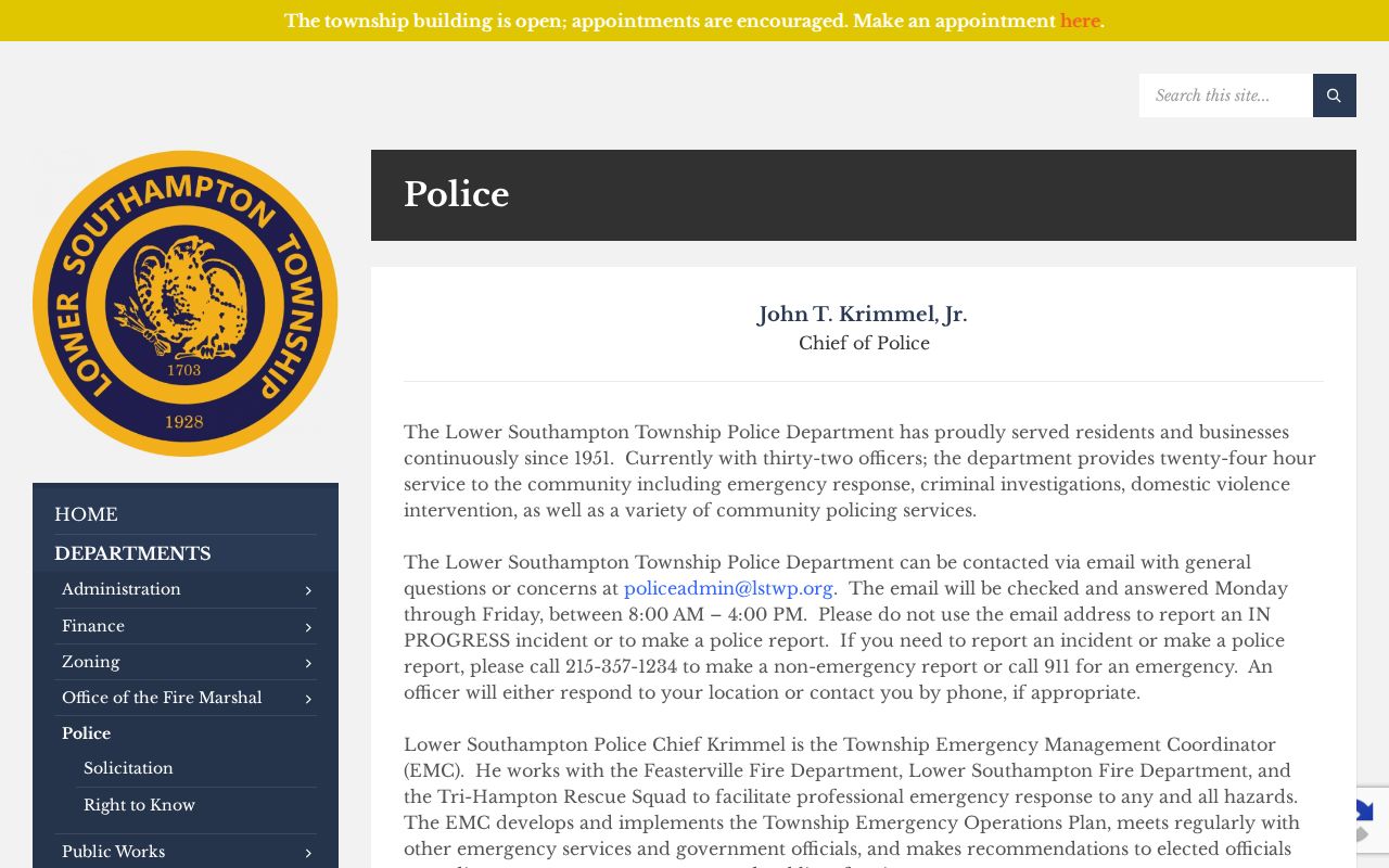
Town Watch is a civic contact point, not a map of participating homes or a record of individual participants.
The Township Other Boards page provides the public board and advisory context.
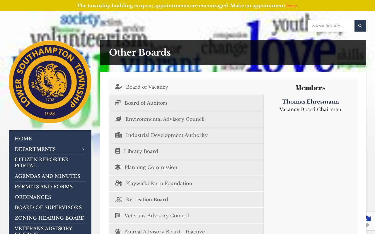
These public roles and notices can explain local organizations without turning voluntary participation into a neighbor roster.
Lower Southampton Township Neighbor Voter Limits
Pennsylvania's individual voter-status tool is for a person's own registration and polling information after identity inputs. It is not a street-browse feature. The separate public-file request can seek a Public Information List, Street List, Walking List, or Full Voter Export, but it requires requester identification, a signed affidavit, and a permitted election, political, or law-enforcement use. The listed products are noncommercial and may not be published online.
The Full Voter Export is $20 for a county or statewide request. It excludes cancelled and protected voters, and it does not expose electronic signatures or SURE numbers. Unauthorized access, alteration, removal, publication, or unlawful misuse is a first-degree misdemeanor under Election Code §1707. Those conditions keep voter records outside a routine Lower Southampton Township block inquiry.
Lower Southampton Township Neighbor Comparison
Official property records and commercial neighbor-data products answer different questions. The official route ties each fact to an identified parcel, document, or public civic source. Commercial products can compile public, licensed, and self-reported material, which can be stale or merge people with similar names. Neither category replaces a Recorder legal description or a county parcel check.
| Record category | Best use | Important limit |
|---|---|---|
| County parcel and Tax Claim data | Focal parcel, address, municipality, and listed owner fields | Not a household or legal-boundary record |
| Recorder deed | Document parties and land description for one parcel | Not a current occupancy record |
| Commercial compiled data | Possible lead to independently verify | May be stale, incomplete, or attach a name to the wrong address |
Lower Southampton Township Neighbor Privacy
Some block information remains private or protected. The county parcel layer does not list household members, renters, utility customers, or delivery data. Courts can withhold confidential, sealed, expunged, juvenile, or limited-access material. Pennsylvania vital records have statutory opening periods. The Address Confidentiality Program provides eligible participants with a substitute mailing address, renews every three years, and must not be circumvented through older property or archive material.
For a public administrative record not covered by a specialized route, the Pennsylvania Right-to-Know Law is an access process, not a deletion tool. Direct a focused request to the agency that holds an identifiable record. Court, vital, election, and Recorder requests belong with their named custodian.