
Lower Southampton Township Previous Residents by Era
One address can leave different records in different periods. The Recorder supplies the official recorded-instrument trail, while Mercer and the Township Library add historical research channels. A title chain establishes ownership evidence. Directories, census schedules, and family records may add household context, but each needs a matching year and location before it is connected to the address.
| Source | Years | Where | What era evidence can show |
|---|---|---|---|
| Bucks County Recorder records | 1684-present | Recorder, paid LANDEX, or public counter | Recorded parties, legal descriptions, and prior citations. |
| Recorder historical index bands | 1684-1919 through 1999-present | Recorder research resources | Party/year route into an older instrument. |
| Mercer deed and grantor-grantee index | 1684-1919 | Mercer Museum research library | Offline historical deed-index support. |
| Township transfer registry | Current-transfer era, start unknown | Township counter | Local registration clue after recording. |
| Township permits | Retained dates unknown | Zoning counter or defined RTKL request | Project-file dates and named application roles. |
| Mercer family indexes | Marriage 1852-1854 and 1885-1946; wills 1684-1900; divorces 1806-1948 | Mercer Museum | Family and probate context, not address proof alone. |
| Federal census | Released through 1950 | National Archives and library databases | A dated household or place snapshot. |
| Local directory runs | Unverified continuous run | Library and regional collections | Use only after a specific volume is identified. |
The table is a research map, not a promise that each source names every prior resident. No verified Lower Southampton criss-cross directory run has been located, and no online image cutoff should be assumed for the Recorder’s long record span.
Lower Southampton Township Previous Residents Trail
For a house-history question, first use Bucks County Tax Claim Public Access to locate the current parcel. Enter the house number and street only in Location Address and choose Lower Southampton in Municipality when needed. Preserve every dash in the parcel number. The owner mailing field and the location field serve different purposes, so keep them separate in research notes.
Next, check the parcel against the Bucks County Parcels ArcGIS layer. PARCEL_NUM, ADDRESS, MUNICIPALITY, DEED_AREA, owner fields, values, land-use code, and MODIFY_DATE help confirm that the correct mapped property is being followed. The layer has no household roster. Its map is reference data, not a survey or title determination.
The Board of Assessment uploads public data weekly and warns that displayed ownership can lag a recent deed. Keep the tax/parcel result as the starting point, then resolve a discrepancy through the latest recorded document or a call to the Board at 215-348-6219.
Read Lower Southampton Township Deed Recitals Backward
The official title trail begins at the Bucks County Recorder of Deeds. Obtain the current owner’s recorded purchase deed through paid remote LANDEX research, the public research area, or a phone or mail copy request at 215-348-6209. The Recorder’s records cover 1684 to the present, but that coverage statement does not mean all records have identical remote images or fields. The county counter and historical indexes remain useful channels.
- Match the current parcel and address to the latest recorded deed, then retain the recording date, party names, and legal description.
- After the legal description, look for the recital or being clause. It may identify the earlier conveyance with a book/page or instrument number.
- Open that cited deed and repeat the process. Each confirmed citation moves the land trail backward without relying on an address spelling alone.
- If the recital is missing or unclear, search the known seller as an Indirect Party in the period when that seller acquired the property.
- Compare the legal description and parcel details at each turn. A shared surname, trust name, or mailing care-of line is not enough to merge two properties.
- Grantor and grantee
- The grantor transfers an interest in land. The grantee receives it. In Bucks historical terms, a grantor/seller is Direct Party and a grantee/buyer is Indirect Party.
- Chain of title
- The documented sequence of land transfers for the same property, linked by deeds and their legal descriptions.
- Legal description
- The recorded language identifying the land. It is often a stronger continuity key than a modern street label.
Search Lower Southampton Township Past Resident Parties
Insider tip: Bucks County’s older index bands are not purely alphabetic. Search with a party role and approximate year. The published bands are 1684-1919, 1920-1941, 1942-1951, 1952-1963, 1964-1971, 1972-1979, 1980-1988, 1989-1993, 1994-1998, and 1999-present. A negative quick match is not a final answer.
Read a sale in both directions. The current deed names the seller as a Direct Party. That seller was commonly an earlier buyer, so use the person as an Indirect Party in the relevant earlier band. This role reversal, together with the recital citation, is a reliable way to work toward earlier past residents without turning an index hit into an unsupported identity claim.
Remote LANDEX is paid. The Recorder has a public research area, and Mercer’s 1684-1919 deed/grantor-grantee index is a separate offline route. Record the role, band, page or instrument number, and exact name spelling for each step. Note: historical spelling and index arrangement can affect an otherwise accurate search.
Use Lower Southampton Township Past Resident Collections
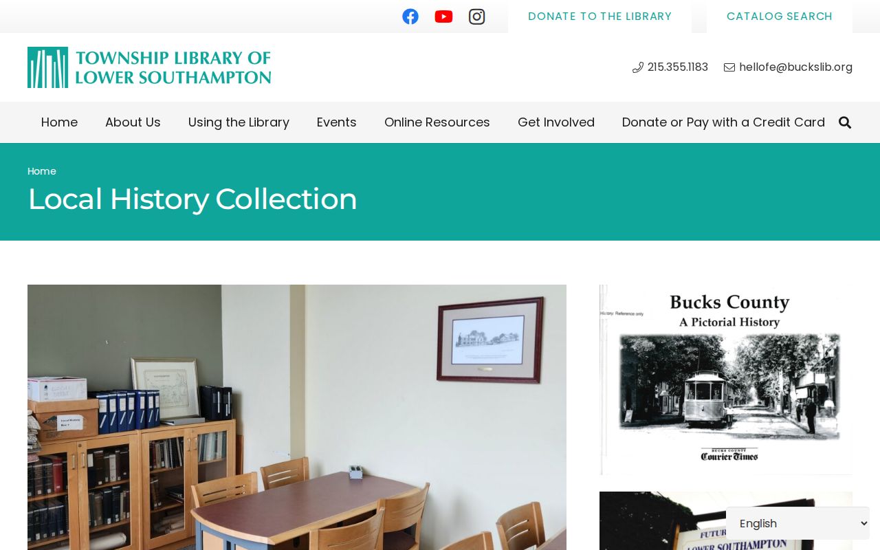
The Lower Southampton Township Library Local History Collection provides a local support trail. Its holdings include deeds from 1811-1949, along with books, photographs, maps, biographies, Township documents, and family-history material. Locked cabinets require help from the reference librarian. The library is at 1983 Bridgetown Pike, Feasterville, PA 19053, and its listed phone is 215-355-1183.
The library’s local-history collection describes its deeds, maps, and Township-document holdings.
Ask for a particular address, surname, year, deed reference, or directory title rather than assuming a volume exists. The collection helps connect local context to a documented property trail, but the Recorder remains the official custodian for recorded deeds. For historical books and directory titles, the related Lower Southampton Township city directory collections route keeps the focus on verified editions.
Compare Lower Southampton Township Previous Residents Access
The Bucks County deed-recording information distinguishes county recording from Lower Southampton’s separate local transfer-deed registry. The Township requires registration of a transfer deed and states a $10 administrative charge. County guidance describes registration within 72 hours after recording. The local registry is a useful counter inquiry, but it does not replace the Recorder’s authoritative deed record.
The county deed-recording page provides the local-registration context for a Lower Southampton address.
Mercer Museum can retrieve known citations through its research service, but it does not conduct a chain-of-title search by mail. Use Recorder documents and recitals to establish the chain first. Then use Mercer’s offline indexes, historical archives, newspapers, and maps to develop context from already known names, years, and land references.
Verify Lower Southampton Township Past Resident Gaps
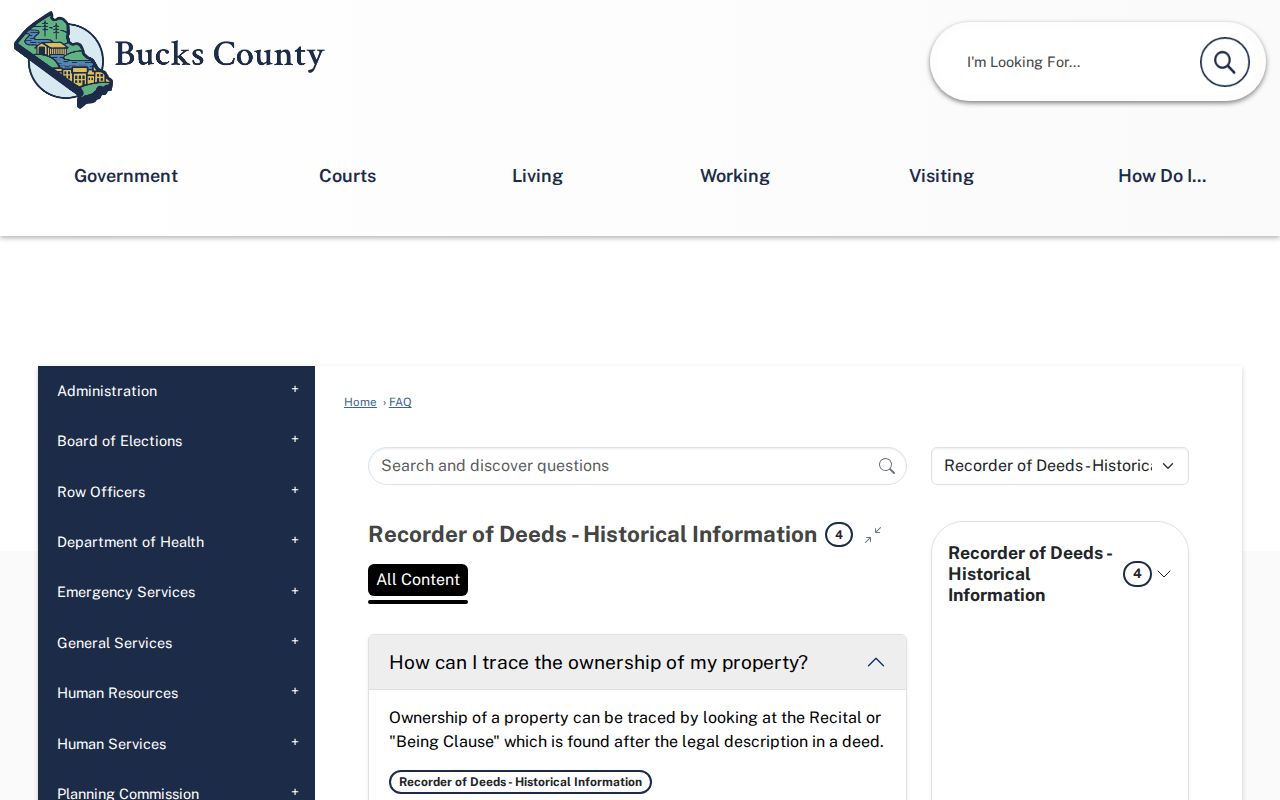
The Recorder’s historical deed guidance explains why the recital or being clause matters. It points from one legal-description trail to an earlier conveyance. It also cautions that deed language such as “and the buildings thereon” does not reliably establish when a structure was built. Keep a dated property conclusion separate from a construction-date claim.
The Recorder’s historical FAQ illustrates the county’s citation-based approach to past residents research.
No verified Sanborn map run or sheet years for Lower Southampton were located. Do not substitute a general map reference for proof that a sheet covers the address. Mercer, the State Library, and the Library of Congress are appropriate places to verify a title, year, and geographic coverage before using any historical map. The Recorder is planning to move old subdivision and highway plans from storage, but availability must be checked before a visit or request.
A cited plan can explain a tract or road change, but it still needs to be matched to the deed’s legal description. Treat the Recorder’s storage work as a timely lead, not a promise of present counter access. That distinction prevents a useful research possibility from becoming an unsupported claim about a particular property.
Reconcile Lower Southampton Township Past Resident Addresses
Street continuity needs more than a current road label. The Township’s documented 1957 changes include Orchard to Acorn, Brookside to Russet, Clearview to Valley, Hilltop to Colonial, Maple to School, Park to Second, Summit to Meadowbrook, William to Revere, and Woodland to Riverview. Fox Hollow became Sweetwater in 1991, while Skyline Avenue became Skyline Drive in 1993. Search both versions, then use the parcel and legal description to decide whether a record concerns the same land.
Historical materials may use Feasterville, Trevose, or Southampton instead of Lower Southampton Township. Township history identifies the Upper and Lower Southampton division in 1928, so Southampton is an important pre-1928 index term. Postal terminology is not municipal proof, and place names should not be merged without a matching parcel, legal description, or source date.
Lower Southampton Township Past Residents Context
After a deed has confirmed a person, year, and property connection, pair that evidence with a library directory only if staff identifies a specific edition. Then compare the date with a released federal census and, where relevant, Mercer’s probate, marriage, naturalization, or historical collections. A directory entry is a dated listing, not proof of an exact move-in date or a complete household.
For the documented regional directory leads, retain the title, publisher, year, locality, page, and abbreviation key. The 1912 Bell Jenkintown-Doylestown directory includes Feasterville; the 1943-1950 Doylestown telephone directory includes Trevose and Churchville; and the 1964 Philadelphia L-Z volume includes Feasterville and Huntingdon Valley. These leads are useful only within their stated geographic scope. A census schedule should likewise be read with its date, civil-division label, and address evidence rather than as a timeless household record.
Lawful history research. Use confirmed records for family history, estate questions, or property history. Do not use historical address research to track, harass, intimidate, or harm a living person.