
Walk Lower Southampton Township Streets by Address
Address research starts with the county’s Bucks County Tax Claim Public Access form. Enter the house number and street name in Location Address, rather than a full mailing string. Select Municipality as Lower Southampton when the street name is shared elsewhere in Bucks County. Keep the parcel number exactly as displayed, including every dash. The result is an address and property trail, not a confirmed list of everyone who lives there.
- Search Location Address with the house number and street only. If needed, narrow with the Lower Southampton municipality choice and save the parcel number.
- Compare the listed owner and mailing information with the physical location. A mailing field may point somewhere else, so it is not evidence that the owner occupies the property.
- Open the county parcel layer and confirm the mapped address, municipality, and parcel attributes before following a name into land records.
- Use the owner name and an approximate year in the Recorder’s Direct and Indirect Party indexes. The recorded deed can supply the legal description and an earlier citation.
- For a historical household question, take the verified address, older street spelling, and date range to a library or archive. A particular directory volume must be checked before it is treated as an address listing.
Those steps keep the street directory focused on records that are actually keyed to land or an address. Pennsylvania’s individual voter-status tool is not a street-browse feature. Public walking or export lists have statutory permitted-use conditions and require an affidavit, so they are not a general neighbor list.
Enter Lower Southampton Township Street Records Correctly
The Tax Claim screen supports several ways to narrow a property inquiry. Location Address is the strongest street entry, while Name accepts a last-name-first form such as Smith, John or Smith John. Mailing Address, city, and ZIP are owner-contact fields. A ZIP entry does not define the physical area of a street. For a parcel lookup, retain all punctuation in a number such as 02-001-010 or 54-003-201-004-108.
| Tax Claim field | Use for a street search | Meaning and limit |
|---|---|---|
| Location Address | House number plus street name only | The parcel’s site location, not a household roster. |
| Municipality | Select Lower Southampton | Helps distinguish a countywide street-name match. |
| Parcel Number | Enter all dashes | Connects the result to mapping and deed research. |
| Name | Use last name first | Finds owner-related records, not every occupant. |
| Mailing Address, city, ZIP | Use as a separate filter | Correspondence data can differ from the parcel location. |
The Board of Assessment Appeals uploads public assessment data weekly. Its ownership display can lag a recent recording, sometimes longer than usual. When the online owner field conflicts with a new deed, call the Board at 215-348-6219 rather than choosing one record as final. The Tax Claim Bureau’s public form is useful for the first address-to-parcel step, but it is not a full title search and does not make a tax status into an ownership finding.
For a clean research note, write down the exact search terms used, the date of the result, Location Address, municipality, parcel number, and any owner or mailing field separately. That record makes it easier to detect whether a later mismatch came from a search spelling, a weekly assessment update, or a newly recorded instrument. Note: a Tax Claim record concerns tax-claim access and does not replace title research.
Map Lower Southampton Township Street Parcels
The Bucks County Parcels ArcGIS layer makes a street segment easier to inspect one parcel at a time. Its published schema includes PARCEL_NUM, ADDRESS, MUNICIPALITY, OWNER1, OWNER2, CARE_OF, DEED_AREA, LAND_VALUE, BUILDING_VALUE, TOTAL_VALUE, LAND_USE_CODE, and MODIFY_DATE. Query or map-select Lower Southampton features, then record the parcel identifier and the displayed site address before comparing any name.
The county parcel layer is shown in the official ArcGIS parcel-layer listing.
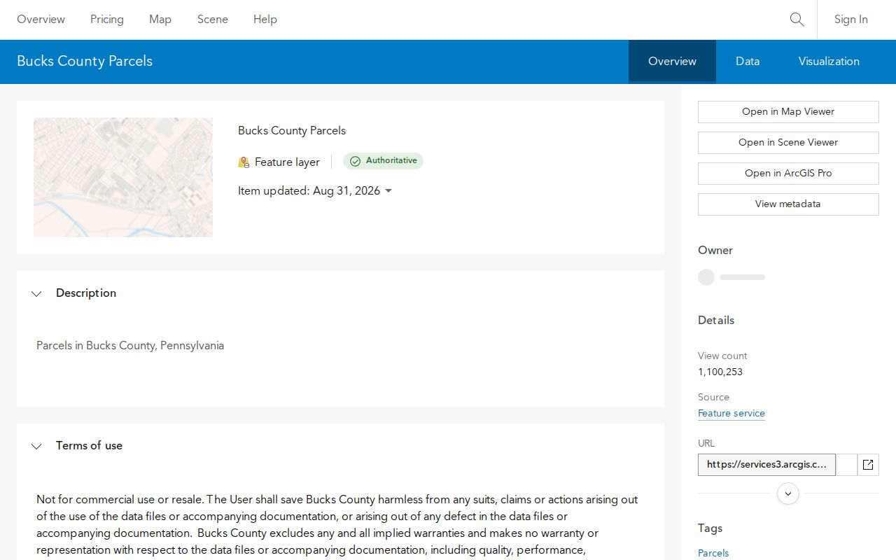
Polygon geometry helps place lots along a road, but it is reference data rather than a survey, title determination, or proof of a boundary. The schema has no household roster, deed image, or survey-grade conclusion. It also has no owner-mailing-address field, which is why the tax form and the map answer different questions.
DEED_AREA can be a useful cue when comparing a map feature with a recorded description. LAND_VALUE, BUILDING_VALUE, and TOTAL_VALUE are assessment fields, not a sale confirmation or market conclusion. MODIFY_DATE marks maintenance of the parcel data, not necessarily the date of a deed. Use the recorder document when the question is about the actual recorded transfer. Preserve the query date beside each map result.
Read Lower Southampton Township Street Identifiers
Three similar-looking address details carry different evidentiary weight. Using them interchangeably can create a false match, especially when a property has a postal-place variant or an older road name.
- Parcel
- A county land identifier. It links assessment and map records, but it does not identify a household.
- Situs address
- The physical location of the parcel, called Location Address in the county form. It may change form or spelling across time.
- Plat
- A recorded plan or map of lots and lines. A plat can assist land research, but a parcel-viewer outline is not itself a legal survey.
- Criss-cross directory
- A reverse directory that starts with an address. No verified continuous Lower Southampton criss-cross run was located, so ask staff about a specific title, year, and scope.
A deed’s legal description has a different job again. It identifies the land through the recorded instrument and often survives a naming change better than a street label. Use the parcel number and legal description together when an old record does not map neatly to a modern address.
Use Lower Southampton Township Street MapLink Carefully
Lower Southampton Township MapLink is a separate zoning and property-rules tool. It can search an address or respond when a parcel is clicked, then show zoning information, permitted-use context, and dimensional rules. It is not an owner-search service, a title source, or a directory of people along a road.
The Township’s License and Inspection information describes the MapLink and the local transfer-deed registration requirement.
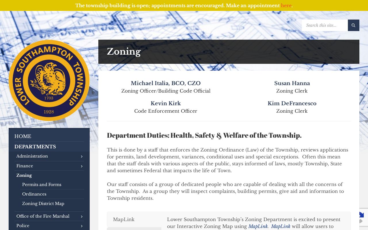
Permit applications are also address-specific records, but no public online issued-permit search was located. The zoning and UCC forms collect the work-site address, a Bucks parcel beginning with 21-, owner and applicant contacts, construction type, project cost, and work description. Request a precise address, period, and document type from the zoning counter or through a form-specific Township RTKL request.
Follow Lower Southampton Township Street Deed Chains
The Bucks County Recorder of Deeds holds recorded instruments from 1684 to the present. Remote LANDEX research is paid, while the Recorder has a public research counter and supplies general information or copy-request help by phone at 215-348-6209. Mail copy requests go to the Bucks County Recorder of Deeds, 55 E. Court St., Doylestown, PA 18901. A property owner may also request an emailed copy of that owner’s deed through the county route.
LANDEX is the county’s remote research channel for the street directory deed trail.

Start with the owner and approximate transaction year found through the address/parcel path. The current deed’s legal description is followed by a recital, often called a being clause, that can cite an earlier book and page or instrument number. That citation provides the next document in a street’s land history. The Township also requires a separate transfer-deed registration after an acquisition. Its stated $10 local registry fee is distinct from Recorder recording, and the Township describes registration as due at transfer while county deed guidance says it should occur within 72 hours after recording.
Lower Southampton Township Street Directory Index Tip
Insider tip: Older Bucks deed indexes are grouped by time and are not purely alphabetized like a telephone book. The printed bands are 1684-1919, 1920-1941, 1942-1951, 1952-1963, 1964-1971, 1972-1979, 1980-1988, 1989-1993, 1994-1998, and 1999-present. A quick miss does not prove a person never held the parcel.
Direct Party means the grantor or seller, or the mortgagor or borrower. Indirect Party means the grantee or buyer, or the mortgagee or lender. After a sale is found, the seller can usually be searched as an earlier buyer in the appropriate band. Search both roles, retain the approximate year, and follow the recital citation instead of guessing from a shared surname.
Lower Southampton Township Street Names
The Township’s street-name appendix supplies a useful crosswalk for historical address work. In 1957, Orchard became Acorn, Brookside became Russet, Clearview became Valley, Hilltop became Colonial, Maple became School, Park became Second, Summit became Meadowbrook, William became Revere, and Woodland became Riverview. Fox Hollow became Sweetwater in 1991, and Skyline Avenue became Skyline Drive in 1993.
Try both spellings when a deed, telephone book, or map record seems to stop at a road name. The crosswalk is a lead, not proof that every old reference identifies the same land. Confirm with the municipal field, parcel number, and legal description. Older material may also use Southampton, Feasterville, or Trevose rather than the current township label; Southampton is especially important for pre-1928 material because Upper and Lower Southampton were divided that year.
Check Lower Southampton Township Street History Sources
Historic directories can add a dated address or telephone listing after the land record is anchored. Documented leads include the 1912 Bell Jenkintown-Doylestown directory with Feasterville coverage, the 1943-1950 Doylestown telephone directory with Trevose and Churchville, and the 1964 Philadelphia L-Z volume with Feasterville and Huntingdon Valley. They are regional leads, not evidence of an unbroken local address series.
Record the exact volume, year, locality, page, and any abbreviation key. That makes a later comparison with a deed or released census reproducible. For a backward address trail, use the focused Lower Southampton Township past residents record path after the street-level parcel work identifies the property.
Compare Lower Southampton Township Street Records
Each address-based source has a defined scope. Pairing them is more reliable than stretching one source into a resident list.
| Address record | Custodian | Street-level value | Access path |
|---|---|---|---|
| Tax Claim inquiry | Bucks County Tax Claim Bureau | Location, owner path, mailing fields, parcel | Free public form |
| Assessment and parcels | Board of Assessment and county ArcGIS | Mapped parcel, municipality, values, owner fields | Weekly public data and map layer |
| Recorded instruments | Bucks County Recorder of Deeds | Parties, legal description, prior citations | Paid remote, counter, phone, or mail |
| Township registry | Lower Southampton Township | Local transfer-registration clue | Counter request, separate from recording |
| Permit file | Township zoning and building staff | Defined project records by address and period | Counter or specific RTKL request |
Recorder deeds show document parties and a land trail. Township MapLink adds rules context. Neither fills the gaps left by a mailing field or proves present occupancy. Note: preserve the source date whenever an assessment or deed record is compared.
Know Lower Southampton Township Street Directory Limits
Myth: a listed parcel owner and mailing address reveal every person at a property. They do not. A parcel record may identify an owner or contact, while occupants, phone information, utility customers, and other household details are not supplied by the county parcel schema. Recorded deeds establish parties to a transaction, not an occupancy history.
Protected voters, Address Confidentiality Program participants, confidential court matters, and closed vital records have additional limits. Use public records only for lawful address, property, family-history, or civic research. Do not use an address trail to stalk, harass, intimidate, or harm anyone.
Privacy boundary. A mailing address, map point, or deed name is not permission to contact a person. Confirm records with the custodian and respect every statutory access limit.